Immo
Mapper
Buy
Rent
About
More
Maps rents and home prices
Real estate prices Switzerland
Property valuation
Rent valuation
Mortgage calculator
FAQ
De
|
En
Sign in
Immo
Mapper
The real estate search engine for Switzerland
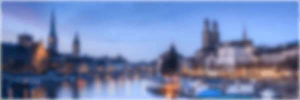
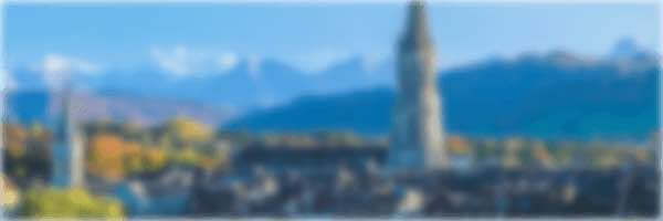
Zurich
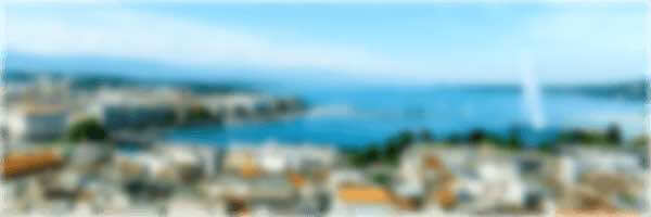
Geneva
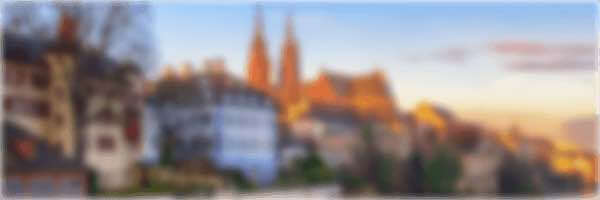
Basel
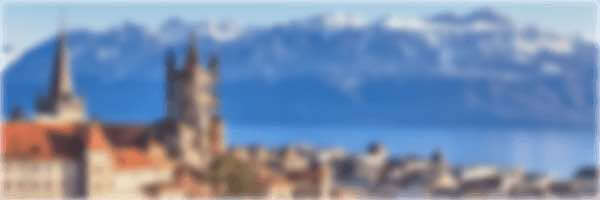
Lausanne
Bern
Winterthur
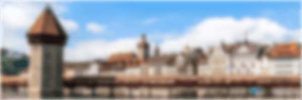
Lucerne
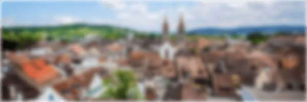
St. Gallen
Ticino
For rent in Switzerland
Canton Aargau
Canton Appenzell Innerrhoden
Canton Appenzell Ausserrhoden
Canton Bern
Canton Basel-Landschaft
Canton Basel-Stadt
Canton Fribourg
Canton Geneva
Canton Glarus
Canton Grisons
Canton Jura
Canton Lucerne
Canton Neuchâtel
Canton Nidwalden
Canton Obwalden
Canton St. Gallen
Canton Schaffhausen
Canton Solothurn
Canton Schwyz
Canton Thurgau
Canton Ticino
Canton Uri
Canton Vaud
Canton Valais
Canton Zug
Canton Zurich
For sale in Switzerland
Canton Aargau
Canton Appenzell Innerrhoden
Canton Appenzell Ausserrhoden
Canton Bern
Canton Basel-Landschaft
Canton Basel-Stadt
Canton Fribourg
Canton Geneva
Canton Glarus
Canton Grisons
Canton Jura
Canton Lucerne
Canton Neuchâtel
Canton Nidwalden
Canton Obwalden
Canton St. Gallen
Canton Schaffhausen
Canton Solothurn
Canton Schwyz
Canton Thurgau
Canton Ticino
Canton Uri
Canton Vaud
Canton Valais
Canton Zug
Canton Zurich
© 2024 ImmoMapper.ch
info@immomapper.ch
Share:
Follow us:
About
FAQ
Real estate market data
Sitemap
Terms of service
Privacy Policy
Imprint
Want to be kept in the loop about ImmoMapper?
Subscribe to our newsletter
Low volume, unsubscribe anytime, no spam.